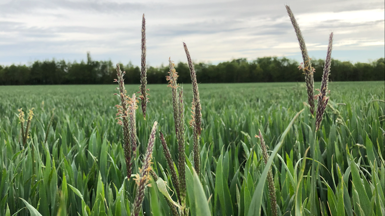
With Blackgrass heads beginning to appear above the crop canopy in many autumn cereal crops, now is a good time to start considering weed mapping in order to monitor any potential spread within fields. Berkshire agronomy offer a blackgrass mapping service. We use a combination of drone scanning, satellite imagery and field walking to provide detailed maps and reports documenting the current situation. These reports provide valuable hard reference points in future seasons assisting in the evaluation of control strategies.